September 3rd, 2025 - Perennial scientists published a peer-reviewed paper in PLOS One on digital soil mapping in support of voluntary carbon market programs. The research demonstrated that digital soil mapping, applied through our foundational ATLAS-SOC model, can accurately predict field-level soil organic carbon (SOC) in U.S. agricultural lands — and significantly outperforms widely used public soil carbon datasets.
This is the third peer-reviewed study from our team demonstrating the power of digital soil mapping, adding to the thousands of studies on the topic published globally. We’re proud to keep contributing to the scientific body of evidence proving digital soil mapping’s value for agriculture and climate solutions.
Research Team
The paper was authored by Perennial’s science team: Jim Kellner, PhD; Christian Clanton, PhD; Kirk Demuth; Mitchell Donovan, PhD; Y. Katherina Feng, PhD; Mage Khim-Young; Julia Maddalena; Rose Rustowicz; and David Schurman.
Research Findings
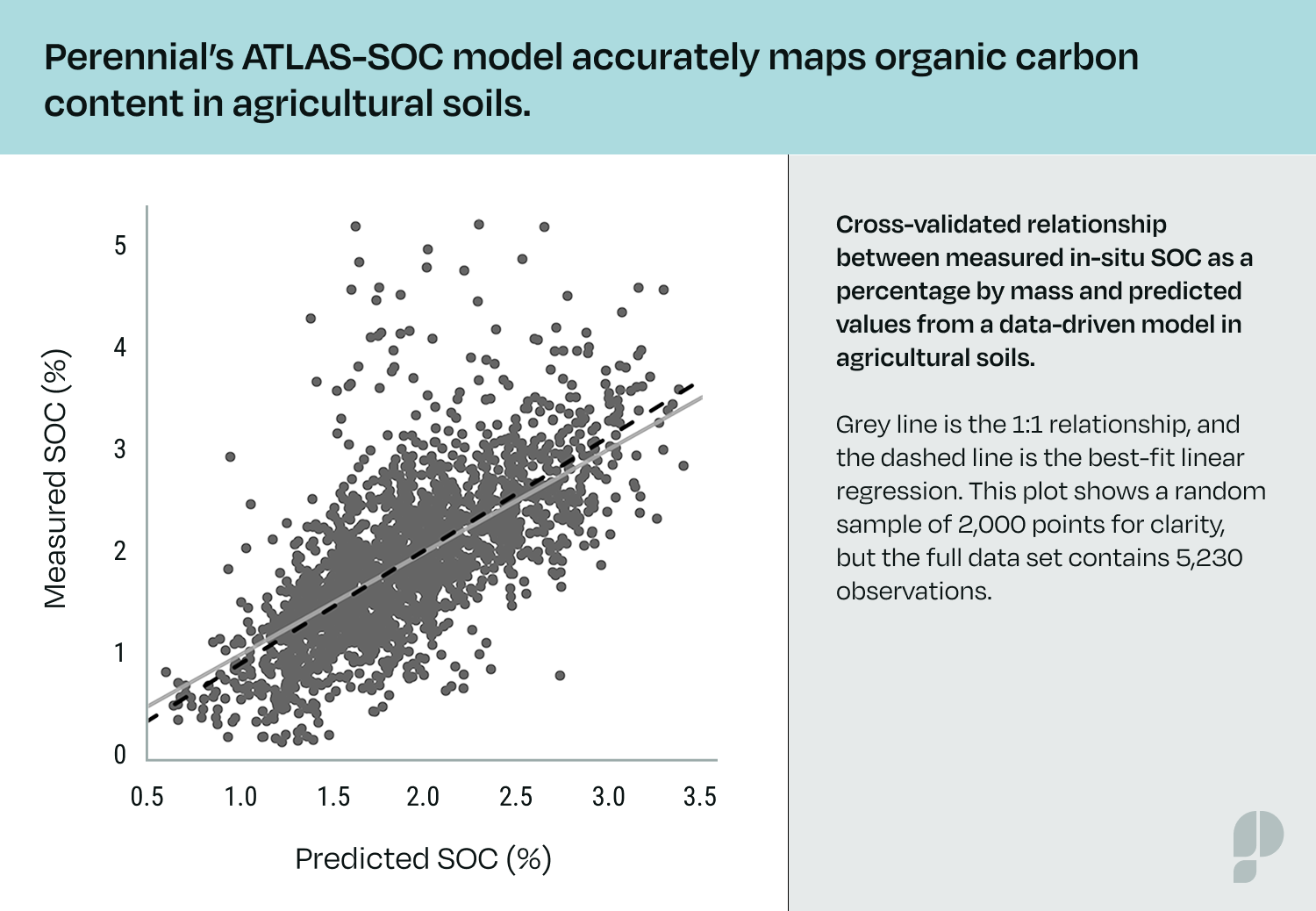
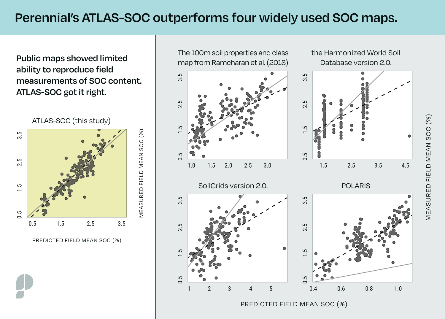
Using more than 5,200 independent soil samples collected across 47 states, the study evaluated Perennial’s foundational model, ATLAS-SOC, which predicts SOC concentrations in the top 30 cm of soil. The results showed:
- High predictive accuracy: ATLAS-SOC Core achieved an R² of 0.81 with low error, aligning closely with observed field measurements.
- Superior performance: Compared against four widely used public SOC datasets — SoilGrids v2.0, Harmonized World Soil Database v2.0, POLARIS, and a 100 m soil properties map — ATLAS-SOC consistently outperformed them. In each case, public maps showed limited ability to reproduce field-level soil carbon values, while Perennial’s foundational digital soil mapping model got it right.
Key drivers of accuracy: Model interpretability analysis revealed that time-series satellite data (Sentinel-2) were the most influential predictors of SOC, followed by variables related to temperature and hydrology. This highlights the importance of integrating remote sensing with updated, geographically diverse soil data.
Why the Findings Matter
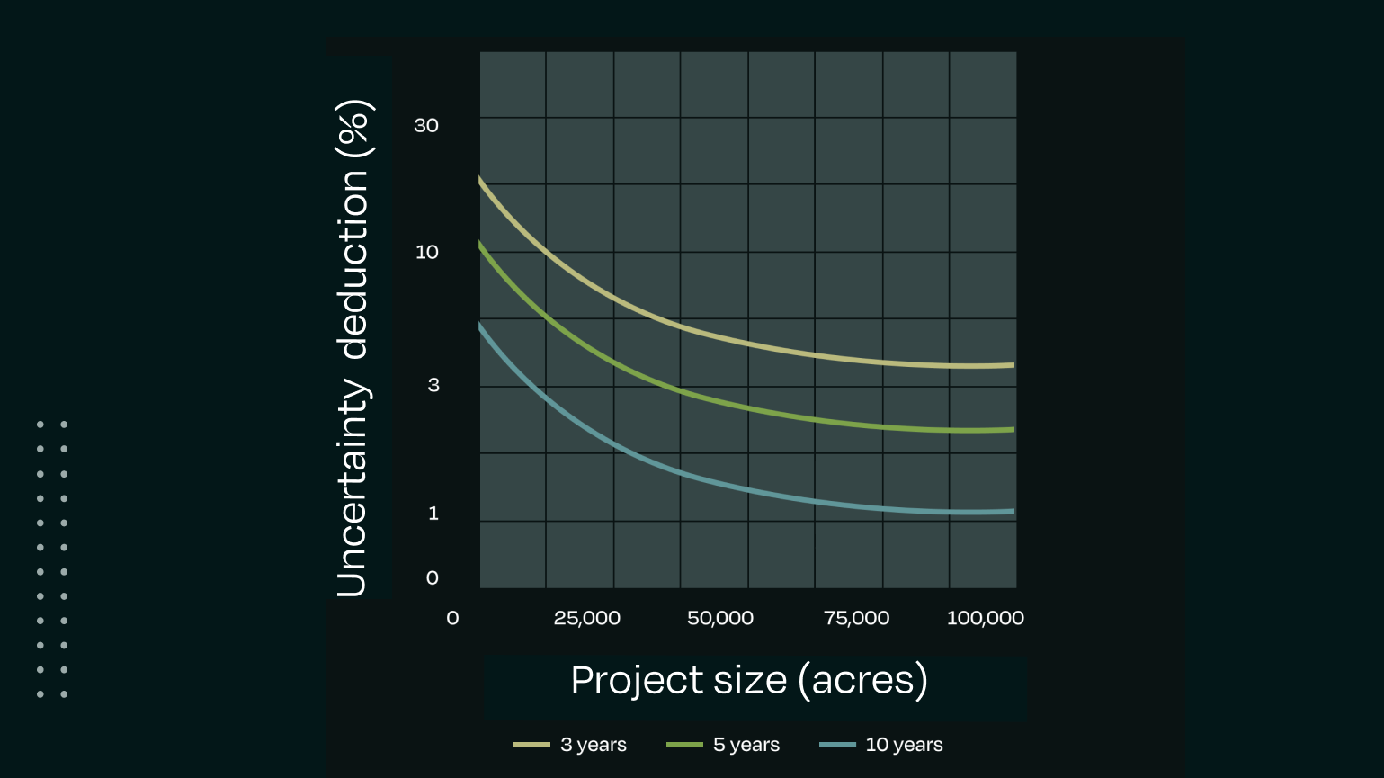
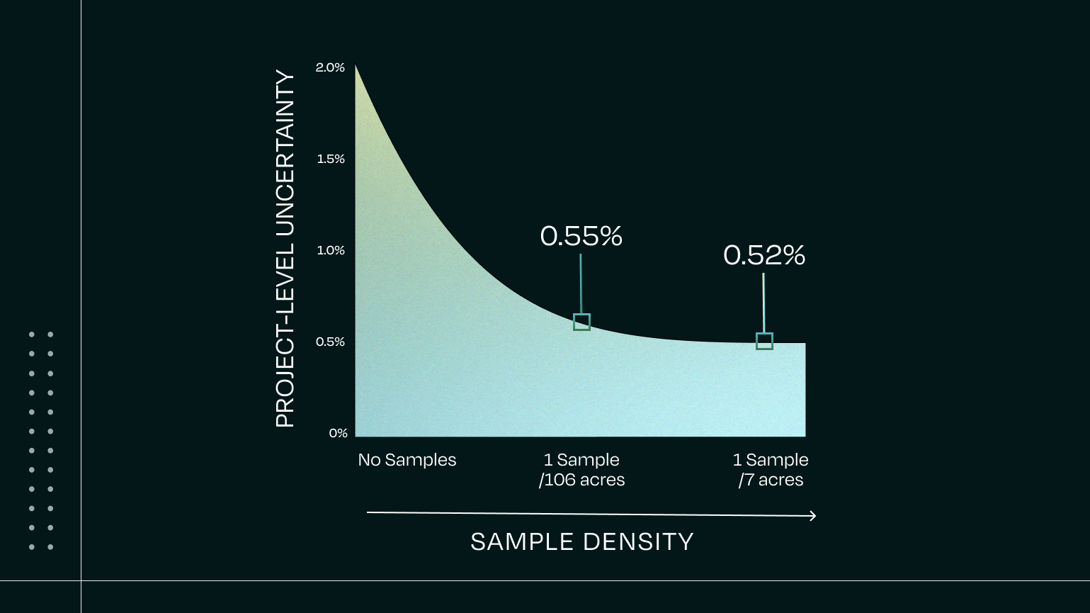
This research confirms that digital soil mapping can accurately quantify SOC in agricultural land. Its ability to work in a wide range of conditions can reduce reliance on physical soil samples while preserving, or even improving, accuracy. The result is a more accessible, scalable, and cost-effective approach to SOC quantification — enabling credible Scope 3 reporting and participation in voluntary carbon markets in agricultural lands where measurement has historically been challenging and costly to scale.
Learn More
Read the full study: Digital soil mapping in support of voluntary carbon market programs in agricultural land (PLOS One)
Learn more about Perennial’s Technology